
WHAT IS AN ORTHOMOSAIC MAP?
When you need to understand a site, an overhead photo isn’t enough. You need something accurate, consistent, and detailed - That’s where orthomosaic mapping comes in.
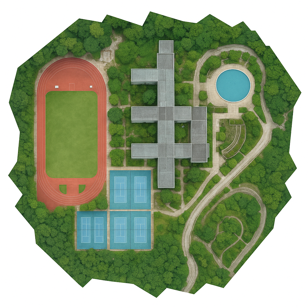
Using drone-captured images and specialist software, Over and Above Aerial produces high-resolution, geo-referenced orthomosaic maps that show your entire site in one seamless, scale-correct image - with no perspective warping or distortion.
It’s like having a digital survey photo you can measure, overlay, and build from — all captured in a single flight.
An orthomosaic is a composite map made from hundreds (or thousands) of individual drone photos . Each image is aligned, corrected for angle and lens distortion, and referenced to real-world coordinates — meaning you can use the final map just like a plan view.
Unlike a typical aerial photo:
It’s scale-accurate — you can measure distances and areas.
It’s orthorectified — meaning vertical lines stay vertical.
It can be geo-referenced — tied to GPS coordinates for overlaying with CAD drawings or GIS systems.


Use Cases
Developers & Architects: Understand the full site layout before breaking ground. Share visuals with planners or overlay CAD files.
Contractors & PMs: Use for site access planning, material storage zones, or contractor briefings.
Estate Owners & Land Agents: Map fields, tree lines, boundaries and paths clearly for planning or sale.
Insurance / Documentation: Capture pre-build conditions, post-flood or storm damage, or survey disputes.
Deliverables
High-resolution orthomosaic map (GeoTIFF and/or JPG)
Optional KMZ overlay for use in Google Earth
Scaled PDF version on request
Delivery within 48–72 hours of flight