Frequently asked questions.
General Questions
What areas do you cover?
We’re based near Ascot and work across Berkshire, London, Surrey and the surrounding Home Counties - including Sunningdale, Virginia Water, Windsor, Woking, Guildford and beyond.
Are you licensed and insured?
Yes. All flights are conducted by CAA-certified pilots under full commercial insurance, including £5m public liability.
How much notice do you need to book a job?
Typically 2–3 days, depending on airspace and weather. For urgent roof inspections or site checks, we’ll do our best to accommodate within 24 hours.
How long does it take to get the images or footage?
Most deliverables are turned around in 24–48 hours. Larger mapping or construction projects may take slightly longer depending on processing and outputs.
Roof Inspection FAQs
Is a drone roof inspection better than using scaffolding or ladders?
Yes — it’s faster, safer and often far more cost-effective. We can inspect areas that are hard to access without needing a full scaffold setup or cherry picker.
Can I use a drone roof inspection for insurance or mortgage reports?
Absolutely. We provide clear, time-stamped aerial images that are suitable for insurers, lenders and surveyors. Let us know your use case and we’ll format accordingly.
Will the drone disturb my neighbours or damage my roof?
No. We fly at a safe height with minimal noise, and we never need to land or touch your property. Our team always notifies the property owner and observes all safety and privacy guidelines.
Construction & Progress Monitoring
How often can you fly a construction site?
We offer weekly, bi-weekly or monthly progress flights. Some clients book one-off snapshots, while others retain us throughout the full build process.
Can I compare drone images over time?
Yes. We shoot from consistent positions each flight so you can compare progress side by side — ideal for stakeholder updates, time-lapse edits or contractor tracking.
Do I need to close the site during a flight?
No. We work around your operations and follow all site safety rules. We liaise with your site manager in advance and fly during safe windows with minimal disruption.
Photogrammetry & Mapping
What’s the difference between a drone photo and an orthomosaic map?
A drone photo shows a site from one angle. An orthomosaic map stitches hundreds of geo-corrected images into a single, scalable top-down map you can measure and overlay plans on.
Here’s our page explaining more - ‘What is an orthomosaic map?’
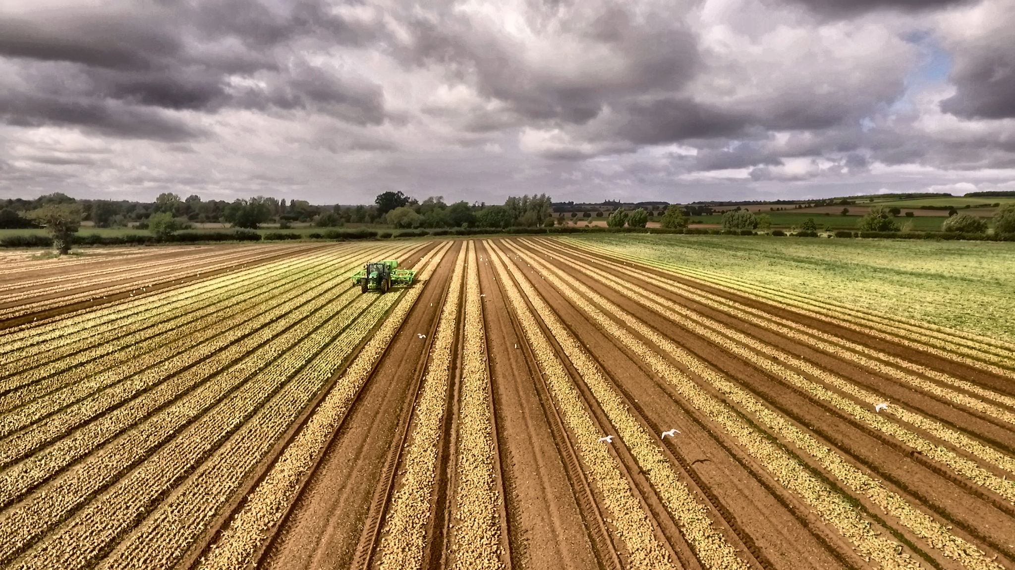
Can you map large sites or farmland?
Yes - we regularly map 5–100+ hectare sites for planning, asset tracking, and estate management. Let us know the area and we’ll recommend the right flight plan and deliverables.
Do I need specialist software to view the maps?
No. We provide standard files (PDF, JPG, KMZ) that work with free tools like Google Earth or any basic GIS viewer. CAD-compatible exports are available on request.
Agriculture
Can drone flights help with crop monitoring?
Yes. We provide seasonal aerials to show growth progress, irrigation patterns, and problem areas - ideal for higher-value crops or estate planning.
Do you work with estate managers or land agents?
We do. Whether you need visual records for boundary checks, sale packs, or long-term land planning, we can support your project with easy-to-use visuals and fast delivery.
Booking & Delivery
How do I book a flight or inspection?
Use our contact page, call, or email us at hello@overaboveaerial.com - we’ll confirm availability, review site details, and handle permissions where needed.
What formats do you deliver in?
All jobs are delivered via secure cloud folder with JPG, MP4, PDF, KMZ or GeoTIFF formats depending on your service. We’ll walk you through it.
Do you offer discounts for multiple properties or sites?
Yes - we offer package rates and retainers for estate agents, developers, and multi-site property owners. Ask us for a custom quote.
Still Have a Question?
Drop us a message — we’re happy to explain what’s possible from above.
