Insights · For contractors
Time-lapse for stakeholder reporting (frame-accurate vs convenient and why it matters)
A monthly drone visit is not a time-lapse. A GPS-locked monthly flight along the same path, with the same shots, is a time-lapse. The two outputs look similar in a single still. Across an eighteen-month programme they are not the same product.
By Sam Hendrick · published 14 May 2026 · 7 min read
Every construction monitoring proposal contains the phrase “monthly time-lapse”. Most of them deliver something else. The difference between a programmed frame-accurate monthly flight and a convenient monthly drone visit looks small in any single month. Across an eighteen-month build it is the difference between a useful archive and a folder of photographs that do not stitch.
This article is about the operational discipline that separates the two, and why the discipline matters to the people the footage is being delivered to.
What “frame-accurate” actually means
Frame-accurate, in this context, means the drone returns every month to the same coordinates, at the same altitude, on the same compass bearing, in the same camera orientation. The same shots, in the same sequence, every month, for the duration of the build. Within plus or minus one metre on position and within plus or minus one degree on yaw and pitch.
The output is a set of stills and video clips that sit on top of each other cleanly. Build a single sequence from twelve consecutive months of frame-accurate footage and the building grows, frame by frame, against a static background. Heliport in the corner. Adjacent block in the foreground. River bend in the same place. The eye is held by the building because nothing else is moving.
Frame-accurate is not a creative claim. It is an operational specification. The flight path is a documented set of waypoints, captured to GPS, programmed into the aircraft, and flown to the same protocol every month. The pilot does not improvise. The shots are the shots. The variance is plus or minus one metre.
What a “convenient” monthly drone visit actually delivers
The alternative, common in the market, is a drone operator booked for a monthly site visit who flies the site at their discretion when they arrive. The pilot improvises the shots based on the weather, their mood, and what looks impressive that day. The output is a folder of photographs and a short edited video.
The folder looks fine in any individual month. The site is documented. The board pack has stills. The progress report has a video clip. Single-month problem solved.
The problem starts at month three. The pilot was at one altitude in January, a different altitude in February, a different angle in March. The stills do not stitch into a sequence. The video clips do not cut together. The board, asked at month nine to see the progression of the south elevation across the year, gets a slideshow of nine inconsistent images. The eye cannot track the building. The visual story falls apart.
By month eighteen, at handover, the operator hands over an archive of inconsistent footage. The single most valuable output of an eighteen-month aerial monitoring programme, the time-lapse of the build, does not exist. It cannot be assembled in post. The footage is not there.
This is the failure mode that procurement teams underestimate when they evaluate aerial monitoring proposals. The convenient version produces a perfectly reasonable looking single month. It produces nothing useful at handover.
What the discipline costs
The discipline is not free. It is also not expensive. It costs about thirty minutes of pre-mobilisation work and roughly fifteen minutes per flight in protocol overhead.
The pre-mobilisation work, done once at the start of the programme, is the survey flight. The pilot flies the proposed flight path. The waypoints, altitudes, headings and orientations are captured. The flight envelope is documented. The shot list is finalised. The position of the take-off and landing point is fixed. The whole package is loaded into the aircraft mission planning software and saved as the programme’s baseline mission.
Every subsequent monthly flight runs the same mission. The aircraft flies the waypoints automatically. The pilot oversees, intervenes if the wind requires a manual override, and confirms the shots are captured. The fifteen minutes of protocol overhead is the pre-flight check that the mission has loaded correctly, and the post-flight check that every shot in the list has been captured before the aircraft is packed away.
The site team sees a quieter operation. The pilot is not improvising on the day. The site manager sees the same crew, the same drone, the same flight envelope, the same exclusion zone every month. The repetition is the point. By month four the site team stops noticing the flights are happening. The work compounds in the background.
Why the operational discipline matters to the board
Three reasons that justify the discipline at board level.
Programme verification. The monthly stills, set side by side, are evidence of progress against programme. The board can see, at a glance, that month four delivered the structural floor that month four was supposed to deliver. Frame-accurate stills make that comparison legible. Inconsistent stills make it impossible.
The programme verification function only works because the shots are consistent. The same elevation, the same angle, the same lighting if the flight is at the same time of day. The eye reads the difference between months. The change is the new structure. The board sees that the change is real and that the date matches the programme.
Stakeholder reporting. The same stills, exported with the date burned in, populate the monthly report to the developer, the lender, the JV partner, the principal contractor’s senior team. Each stakeholder gets the same source material. There are no contradictions between reports. There are no editorial interpretations. The footage is the footage.
The frame-accurate sequence also sits in the lender update pack as evidence of progress. Some lenders, particularly construction lenders running a draw schedule against milestones, specifically welcome an independent visual record. The frame-accurate sequence is admissible in that context. The convenient version is not.
Handover archive. At completion, the eighteen monthly flights cut into a single time-lapse. Two minutes of the building rising from groundwork to handover, against a static background. This becomes the asset the developer keeps in the archive permanently. AGM presentations, the next launch, planning permission renewals, insurance loss negotiations, corporate marketing, the ten-year anniversary deck. The asset has a working life of decades. The investment in operational discipline pays out across that working life.
Why the operational discipline matters in disputes
A separate piece on drone footage as evidence in construction disputes sits here and goes into the detail. The summary version is that frame-accurate footage, captured to documented GPS coordinates with embedded metadata and a documented chain of custody, is the version that holds up in adjudication and litigation. Convenient footage with no positional metadata and no chain of custody does not.
If the project is large enough, complex enough, or politically sensitive enough that a dispute is plausible, the discipline of frame-accurate monthly capture is the cheapest evidence-grade insurance available. The cost is a small uplift on the monthly fee. The protection, if it is needed, is enormous.
The owner’s representatives, employer’s agents and contract administrators we have worked with all run the same calculation. The frame-accurate version is the version they specify when they have the choice. The convenient version is what they receive when they do not.
What to specify when you commission
A short list of the things to specify in the brief if you want frame-accurate, not convenient.
A documented flight path. The waypoints, altitudes, headings, and shot list captured before the first flight. Issued to you in the kick-off pack. The pilot flies this mission every month, not whatever they choose on the day.
GPS-locked positional accuracy. Plus or minus one metre on position, plus or minus one degree on yaw and pitch, between consecutive monthly flights. Specified in the contract.
A consistent shot list. A defined number of stills (we recommend a minimum of twelve) from the same waypoints every month, plus a defined number of edited video clips. The same outputs every month.
Embedded metadata. Time, date, GPS coordinates, altitude, camera settings embedded in every still and every video file. This is the metadata that supports both the time-lapse stitching and any future evidence requirement.
A documented rebooking window. A five-day window each month within which the flight can be rebooked if the weather is wrong on the scheduled day. The flight does not roll to the next month if the weather scrubs day one.
A documented archive. The original files retained on UK-resident infrastructure for the duration of the contract plus twelve months. Available for handover at any point. Available to the operator’s successor if the contract changes hands.
If the proposal includes all six, the operator is offering frame-accurate. If any one is missing, the offer is convenient with a different label. The labels are easy to confuse. The operations are not.
What this looks like in practice
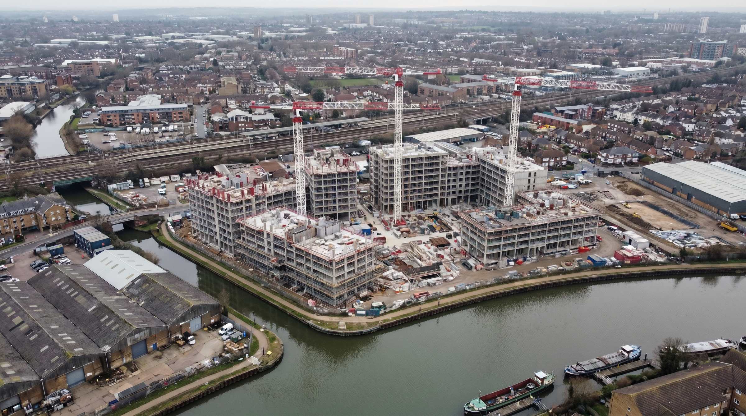
The Ballymore Capston programme runs to this protocol. Every quarterly flight (Track A is quarterly rather than monthly because the buyer audience does not need monthly cadence) returns to the same waypoints, the same altitudes, the same shot list. The Canary Wharf monitoring contract, which does run monthly, runs to the same protocol on a faster cadence.
The discipline is established at Episode 1 of the Capston programme. By Episode 8, the eight quarterly flights will cut into a single time-lapse of the building rising from groundwork to handover. The protocol that allows the time-lapse to exist was set on the survey flight before the first slab went in. It cannot be introduced retroactively. It has to be set at the start.
The operational version of the same point. The discipline is cheap to maintain once established. It is impossible to retrofit.
If you are commissioning aerial monitoring on a long-build site and want the discipline at the front, discuss the site or call 0207 458 4997.